Rural Land Comps in Lampasas: A Guide for Investors
October 9, 2025
October 9, 2025
Rural land in the Lampasas area sells on more than just acreage. Access, utilities, minerals, water, soils, and improvements can swing value by thousands per acre. This guide shows you how to read comps like a pro so you can price, negotiate, and plan with confidence.
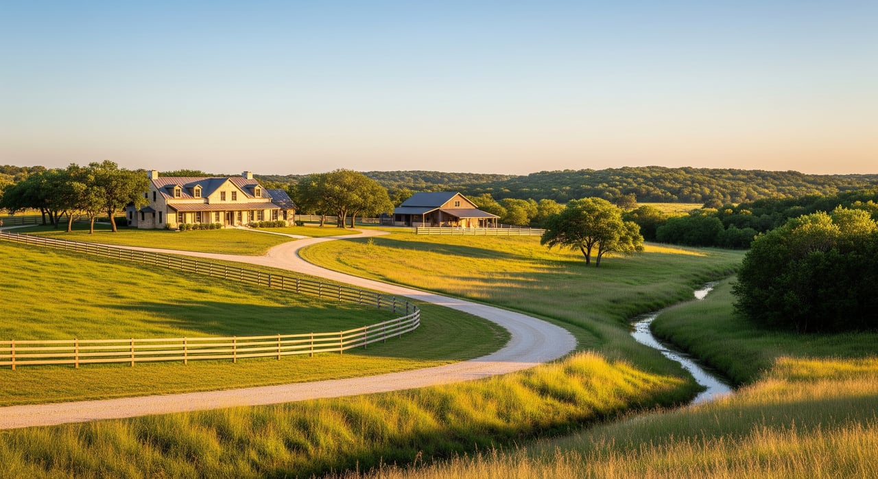
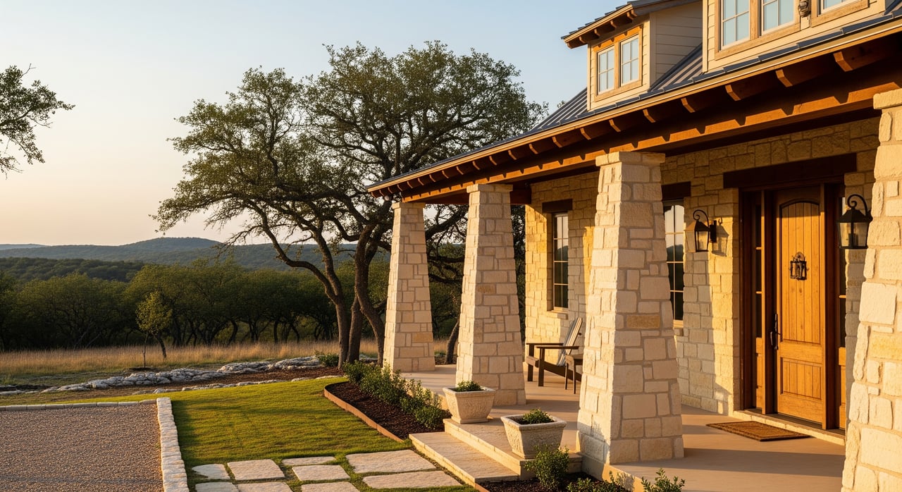
Rural comps are not the same as neighborhood home comps. In a mixed farm‑and‑ranch market like Lampasas County, two 50‑acre tracts can have very different values based on use, access, and rights. The buyer pool includes local owners and regional buyers from Central Texas metros. Lampasas sits within a practical drive of Austin, which brings lifestyle and recreational demand into the market based on typical drive times.
Thoughtful comps do three things for you:
One more key point: listing prices and closed prices can diverge. Listing portals often reflect asking prices that skew higher on trophy or improved ranches, while closed‑sale data sets provide what buyers actually paid. For market trend context, lean on closed‑sale indices from the Texas Real Estate Research Center, which reports regional per‑acre prices and quarterly shifts for the Austin–Waco/Hill Country region TRERC rural land report.
Not every sale is a true comp. Start with use and functional utility, then match the most important value drivers.
Acreage size changes price per acre. Smaller tracts often sell at a higher per‑acre number than very large ranches because the buyer pool is deeper and more residential or recreational buyers compete for them. Appraisers call this the size‑effect curve. Avoid averaging per‑acre numbers across very different sizes without an adjustment methodology overview and Appraisal Institute guidance.
Access is decisive. Paved public road frontage usually commands a premium over gravel county roads, which in turn tend to beat private easements. Confirm that access is deeded and usable year‑round. Check county clerk records for easements and the precise legal description before you treat a sale as comparable Lampasas County Clerk.
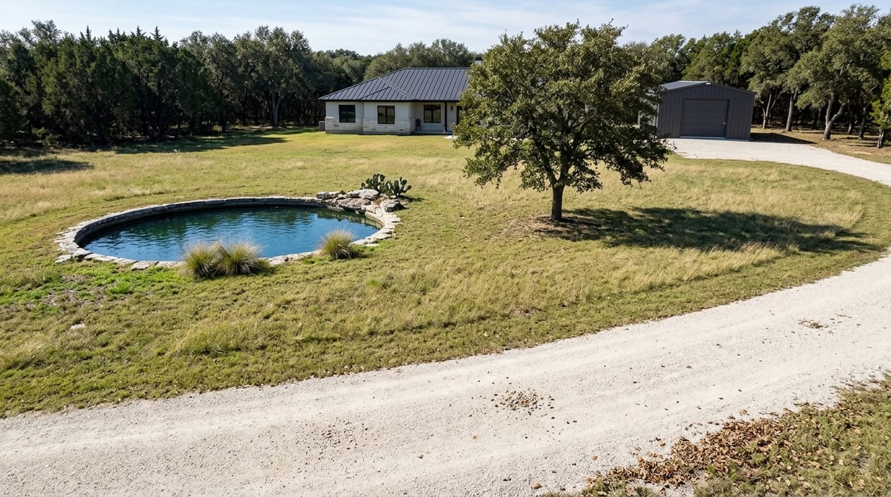
Electric service at the fence line, an existing well, or a functioning septic can shift value and shorten a buyer’s development timeline. Market participants and appraisers commonly adjust for the presence or absence of utilities or the cost to extend them Appraisal Institute standards.
Surface water and soils matter. Riparian frontage on the Lampasas River or Colorado River corridor often carries a premium but can bring flood constraints and permitting considerations Lampasas River context. Review soils for septic feasibility and grazing productivity using the NRCS Web Soil Survey and the Lampasas series description NRCS Web Soil Survey and Lampasas soil series. Always check FEMA panels for flood risk and lender implications FEMA Map Service Center.
Deed restrictions, conservation easements, floodplain rules, and county development standards can add or subtract value depending on a buyer’s goals. If a tract’s highest‑and‑best‑use is recreational ranching, a heavy subdivision overlay next door may not be comparable to a quiet, deed‑restricted area. Verify any recorded restrictions in the deed chain and plats at the county clerk’s office County Clerk records.
Use a systematic approach and verify everything you can with primary sources.
Start by assembling recent sold and pending acreage in the size band and use profile you need. Listing platforms are helpful for photos, marketing narratives, and timeline context, but treat asking prices as a starting point. For market trends and time adjustments, cross‑check with closed‑sale indices from the Texas Real Estate Research Center TRERC rural land report.
Confirm the actual sale price, deed date, and any reservations or easements in the county records. Use the appraisal district to verify acreage, legal description, and exemption status (like agricultural appraisal) Lampasas CAD and County Clerk search.
Surveys and recorded plats clarify acreage, boundaries, and access points. Overlay FEMA flood maps, soils, and topography to check for constraints and opportunities FEMA Map Service Center and NRCS Web Soil Survey.
Walk the tract if possible. Field‑check access gates, interior roads, fencing, water features, and build sites. Photos can hide cedar thickets, steep draws, or rocky outcrops that change utility and value.
Build apples‑to‑apples comparisons with a short, repeatable framework. Appraisal standards call for supported, logical adjustments rather than guesses Appraisal Institute guidance.
Thin rural markets often need a 12–24 month window. If you use older comps, make a time adjustment consistent with regional trends from TRERC, which tracks quarterly per‑acre price changes by region TRERC trends.
Treat improvements separately so they do not distort per‑acre land value. Value barns, pens, interior fencing, and ranch infrastructure by contribution or cost‑to‑reproduce, then reconcile total value back to a land‑only per‑acre figure for clean comparisons Appraisal Institute rural valuation references.
Related‑party transactions, estate sales, or deals with large concessions should be flagged and used cautiously. Verify deed consideration and look for signs of unusual terms in public records County Clerk records.
A tract with immediate subdivision potential or commercial frontage belongs in a different set of comps than a purely recreational or grazing property. Separate the data sets by highest‑and‑best‑use and adjust accordingly Appraisal Institute methodology.
Open‑space (ag) appraisal lowers taxes for qualifying use, which many buyers value. But converting use can trigger rollback taxes. Document the current valuation, use history, and buyer plans, and price with that exposure in mind Texas Tax Code definition.
In Texas, the mineral estate is legally dominant. Severed minerals or active oil and gas leases can grant surface use rights to the mineral holder, which may limit improvements or deter buyers. Read reservations carefully and confirm lease status before using a sale as a comp Railroad Commission of Texas FAQ.
Pipeline easements, conservation easements, access gaps, or encroachments can materially change value. Order title work early and review survey exceptions. When in doubt, involve a land‑savvy title attorney and a surveyor County Clerk.
For broader context, cross‑check your reconciled range against the regional closed‑sale index for the Austin–Waco/Hill Country region to ensure you are in the right ballpark for the current quarter TRERC market context.
Pair price with smart terms:
A clear process beats guesswork:
If you want a second set of eyes on your tract or a professional pricing strategy, we are here to help. Start a conversation with Debbie Stevenson. Our team blends local farm‑and‑ranch expertise with elevated marketing and, when appropriate, auction capability to reach the right buyer pool and maximize your outcome. Request your free home valuation.
Stay up to date on the latest real estate trends.


Offering expert guidance, strong negotiation, and personalized service in every transaction. Specializing in Central Texas real estate, farm and ranch properties, and new construction, committed to delivering the best results for buyers and sellers alike.